
Tap a mountain for conditions + buzz
Places © OpenStreetMap contributors · snow USDA SNOTEL · weather NWS · danger via avalanche.org
Peaks, trailheads, sno-parks, huts and routes — tap one for snow, weather and avalanche danger
25–30° 30–45° 45°+
easy intermediate advanced / expert lift
Loading the terrain catalog…
Ground: public lidar · Runs © OpenStreetMap contributors (ODbL)
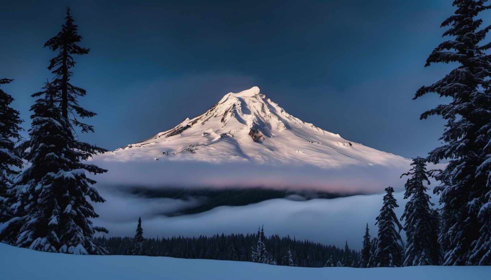
Mountain Conditions
Live NOAA telemetry — temperature + forecast per resort
🏔 Powder Now
Loading ranking…
Pacific Northwest
Loading conditions…
Snow History
Decades of SNOTEL snowpack — depth + snow-water-equivalent, straight from USDA stations
Pick a resort to chart its snowpack.
Snow Buzz
What the mountain is saying — classified powder, ops, access + safety signals
Pick a resort to see its snow chatter.
Trip Planner
Drive times from your door to the snow — free routing, no account needed
My Mountains
Follow your resorts — get one personalized powder feed

Mountain Rides
Share the drive — split gas, make shred buddies, chase powder together
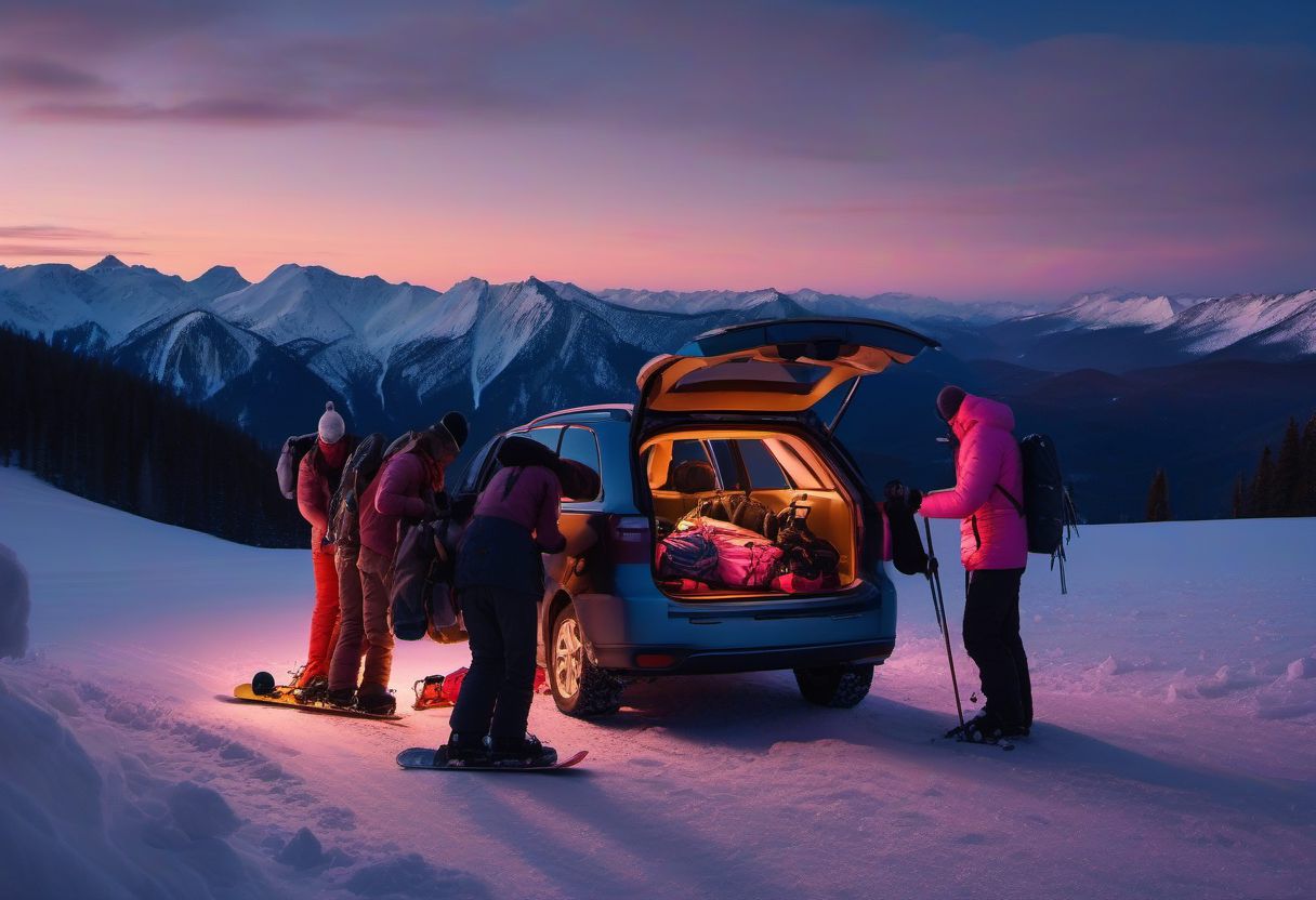
Your Alerts
Ride requests, acceptances, updates and your weather alerts land here
Nothing yet — post or join a ride.
Saved locations and alerts
Save a resort, a map point or where you stand, then set your own thresholds: new snow, snow level, wind, cold, avalanche danger. Checked every 30 minutes; alerts land in the list above.
Your Profile
How you show up on the mountain — rides, feeds + shred buddies see this