 SnowSync
Massachusetts · United States · ski area guide
Berkshires
5 resorts · 146 runs · 36 lifts mapped
Ski hills of the Berkshires in western Massachusetts, from Jiminy Peak in the north to Catamount on the New York line.
Catamount Ski Area has the most mapped runs here (45). The steepest named run we have mapped is Christopher's Leap at Catamount Ski Area, averaging 46% over its length. About 31% of the rated runs are advanced or harder.
The resorts
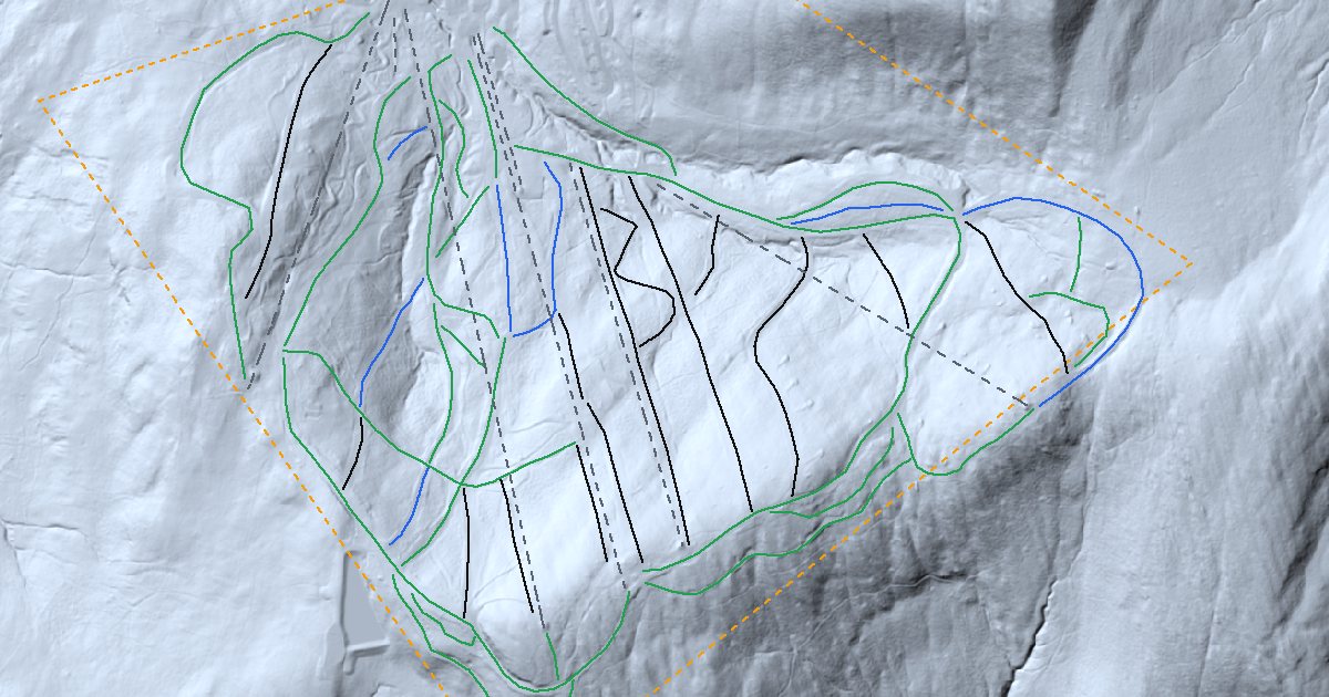
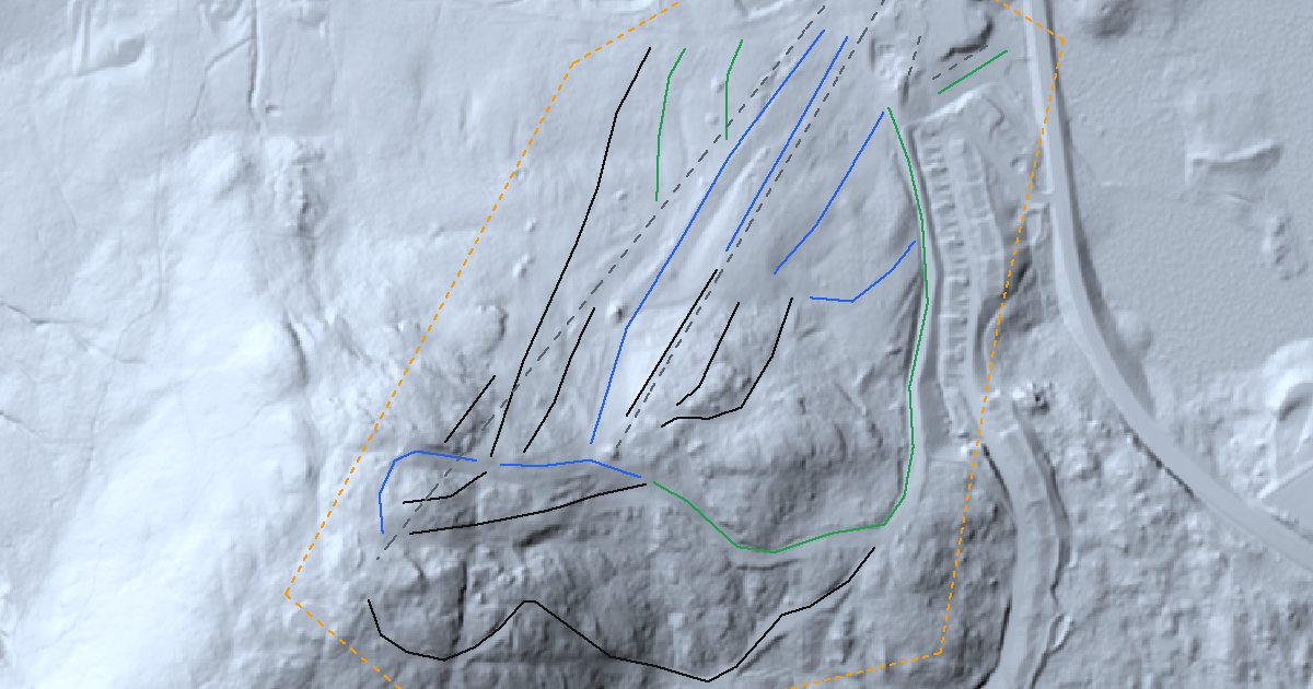
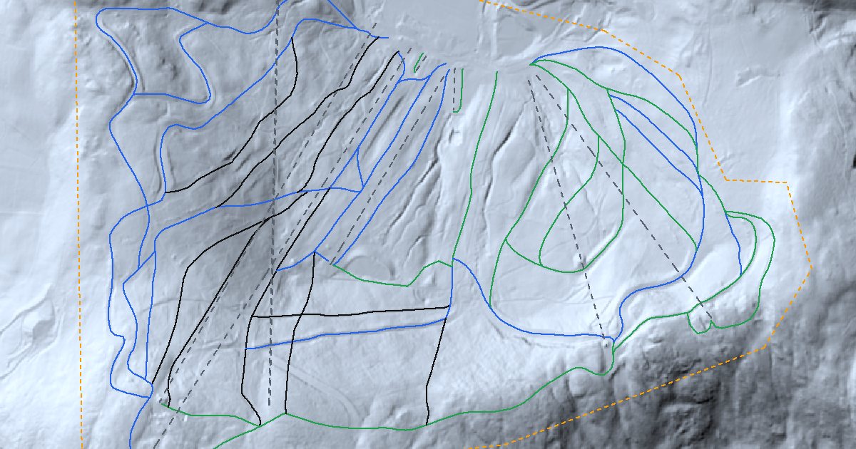
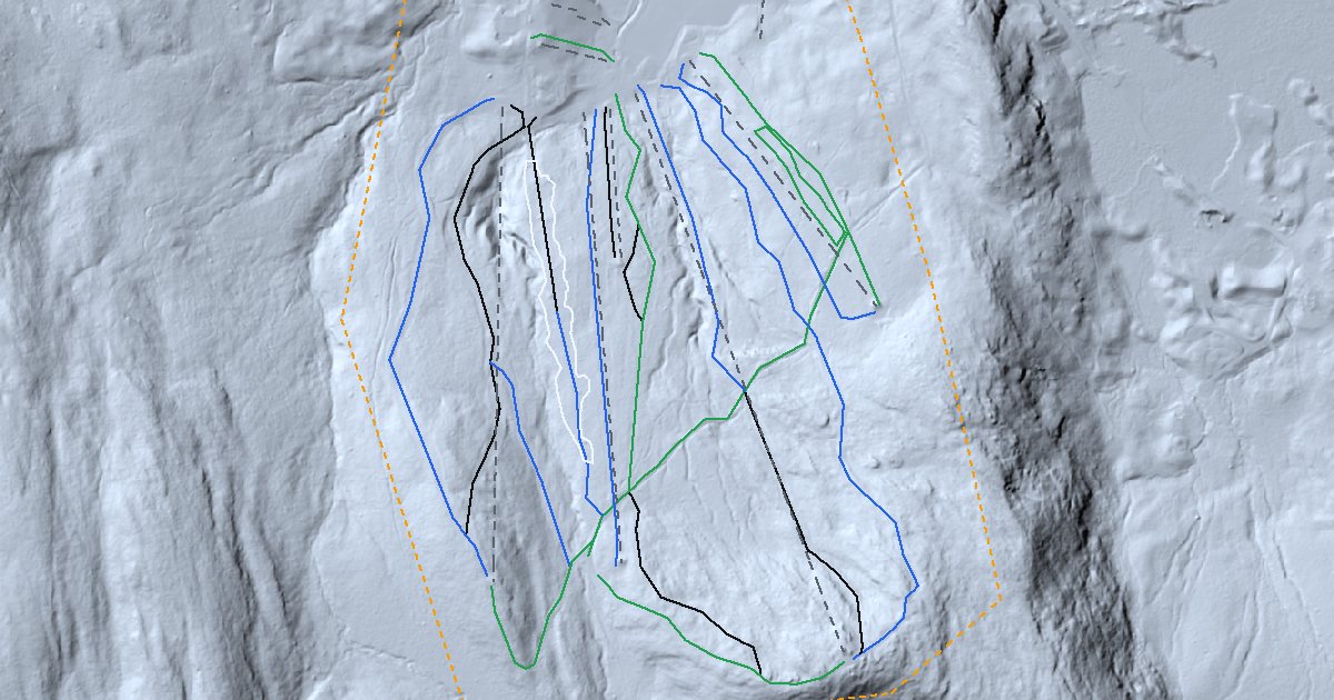
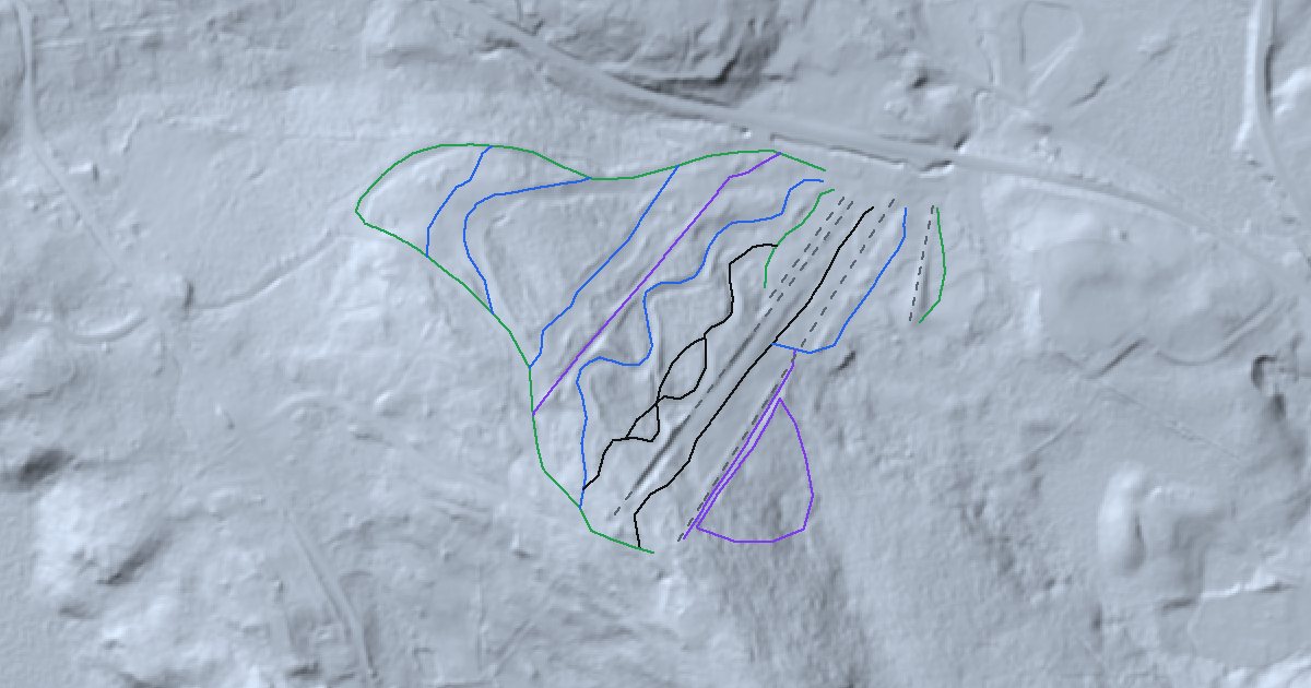
Side by side
| Resort | Lifts | Runs | Easy | Intermediate | Advanced+ | Steepest named run |
|---|---|---|---|---|---|---|
| Jiminy Peak | 8 | 44 | 23 | 7 | 14 | Upper Liftline 45% |
| Bousquet Ski Area | 4 | 19 | 4 | 6 | 9 | Nikki's Run 33% |
| Catamount Ski Area | 9 | 45 | 15 | 20 | 10 | Christopher's Leap 46% |
| Ski Butternut | 11 | 23 | 7 | 9 | 6 | Race Course 24% |
| Otis Ridge | 4 | 15 | 4 | 5 | 6 | Lift Line 36% |
Runs and lifts are reproduced from OpenStreetMap; grades are sampled from public lidar along each run.
On the map
Gear for these mountains
- Merino base layer ↗Stays warm even when damp.
- Ski helmet ↗Fits over a thin hat, under the goggle strap.
- Wax kit ↗Keeps the base fast between shop tunes.
- Boot dryer ↗Dry liners for the second day.
As an Amazon Associate, SnowSync earns from qualifying purchases. These links open the retailer's site.
Nearby ski areas
- Catskills 53 mi
- Southern Vermont 60 mi
- Killington and Okemo 90 mi