 SnowSync
Oregon · United States · ski area guide
Mount Hood
5 resorts · 604 runs · 64 lifts mapped
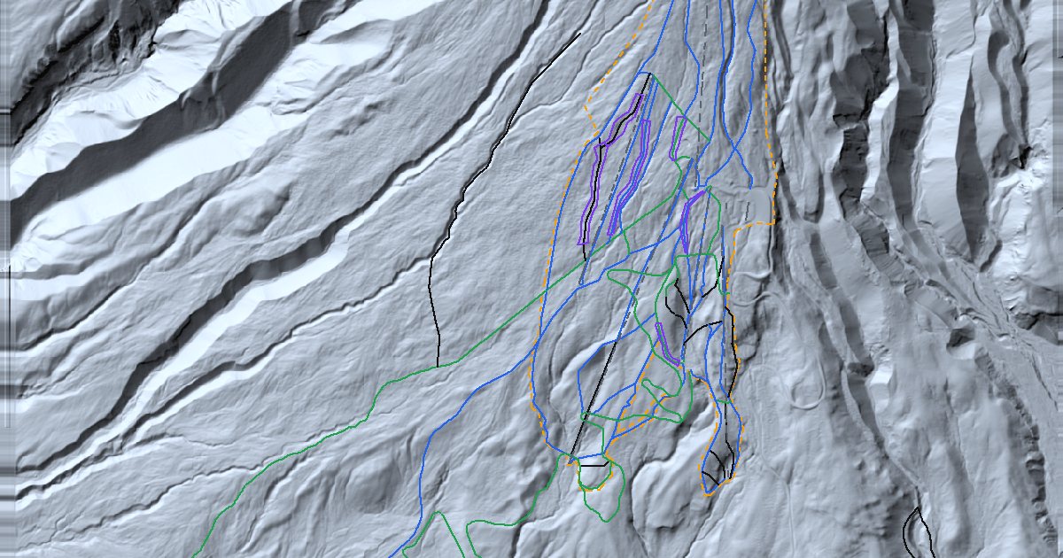
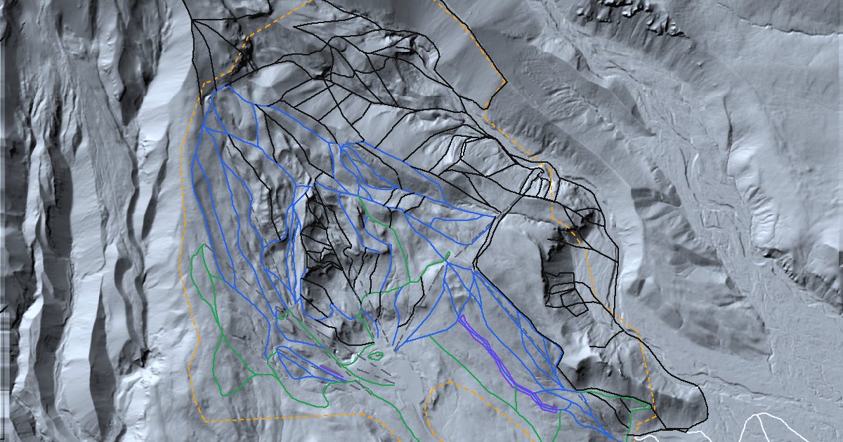
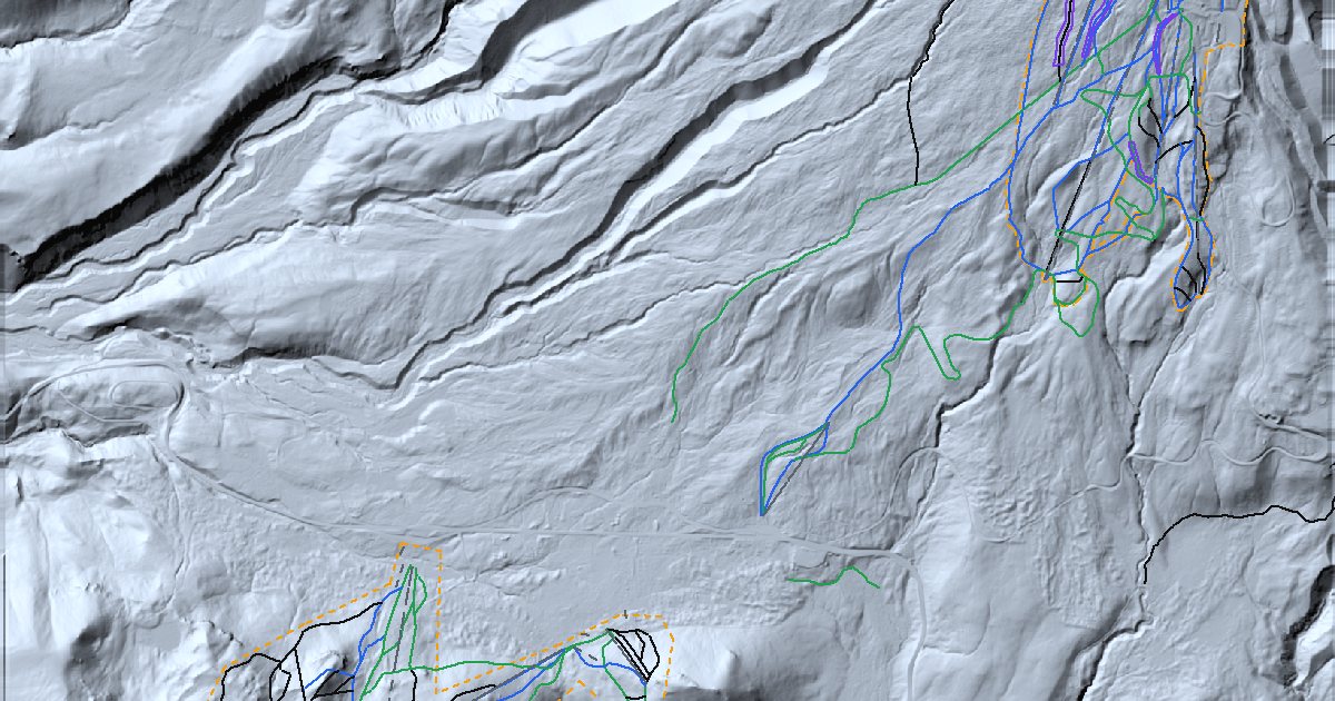
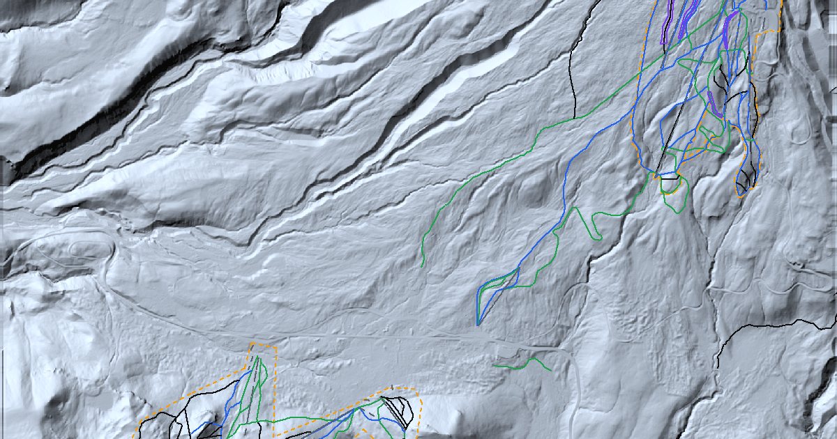
Ski areas on the slopes of Mount Hood, Oregon's highest peak: Timberline high on the south side, Mt. Hood Meadows on the east, Skibowl and Summit at Government Camp, and Cooper Spur on the quieter north-east flank.
Mt Hood Meadows has the most mapped runs here (204). The steepest named run we have mapped is JD's at Mt Hood Meadows, averaging 61% over its length. About 50% of the rated runs are advanced or harder.
The resorts
Side by side
| Resort | Lifts | Runs | Easy | Intermediate | Advanced+ | Steepest named run |
|---|---|---|---|---|---|---|
| Timberline Lodge | 17 | 103 | 24 | 31 | 48 | West Crater Rim 54% |
| Mt Hood Meadows | 12 | 204 | 34 | 55 | 95 | JD's 61% |
| Mt Hood Skibowl | 17 | 144 | 34 | 36 | 73 | Pizazz 50% |
| Summit Ski Area | 17 | 140 | 30 | 36 | 73 | Pizazz 50% |
| Cooper Spur ski area | 1 | 13 | 6 | 6 | 1 | - |
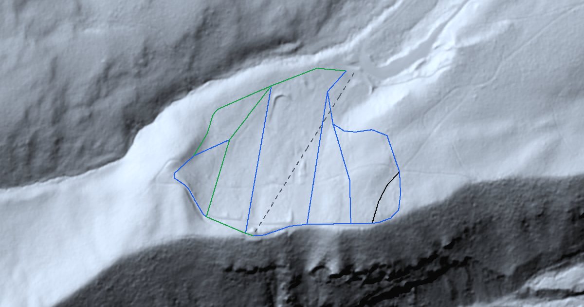
Runs and lifts are reproduced from OpenStreetMap; grades are sampled from public lidar along each run.
On the map
Conditions
| Resort | Snow next 24 h | Snow level | Low | Avalanche danger |
|---|---|---|---|---|
| Timberline Lodge | 0" | 5,700 ft | 38°F | - |
| Mt Hood Meadows | 0" | 5,800 ft | 36°F | - |
| Mt Hood Skibowl | 0" | 5,800 ft | 40°F | - |
NWS gridpoint forecasts and avalanche.org danger ratings.
Gear for these mountains
- Merino base layer ↗Stays warm even when damp.
- Ski helmet ↗Fits over a thin hat, under the goggle strap.
- Wax kit ↗Keeps the base fast between shop tunes.
- Boot dryer ↗Dry liners for the second day.
As an Amazon Associate, SnowSync earns from qualifying purchases. These links open the retailer's site.
Nearby ski areas
- Snoqualmie Pass 144 mi
- North Shore Mountains 286 mi
- Okanagan 330 mi